OceanGrafix — Accurate Charts. Confident Boating.
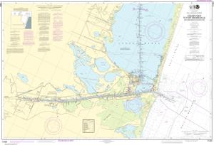
NOAA Nautical Chart 11302
Intracoastal Waterway Stover Point to Port Brownsville, including Brazos Santiago Pass
Scale: 40,000
Paper Size: 36.0" x 47.0"
Actual Chart Size: 44.0" x 29.9"
Edition #: 34
Edition Date: 2014-01-01
NTM Notice/Date: 1724 2024-04-27
NTM: https://msi.nga.mil
LNM Notice/Date: 1624 2024-04-16
LNM: http://ocsdata.ncd.noaa.gov/nm
NTM = NGA Notice to Mariners
LNM = Local Notice to Mariners
This chart has been canceled so it is NOT updated weekly and does NOT include all the latest Notice to Mariners corrections. This chart is available for purchase online.
