OceanGrafix — Accurate Charts. Confident Boating.
NGA Charts for International Waters
Nearly 1,000 charts worldwide
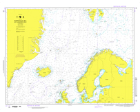
 National Geospatial-Intelligence Agency charts, or NGAs, provide commercial and recreational mariners with navigational information for international waters. OceanGrafix charts serve as a valuable complement to electronic systems — and critical back up when the unexpected happens.