OceanGrafix — Accurate Charts. Confident Boating.
CHS Charts for Canadian Waters
Navigate Canada's coastline and major inland waterways
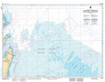 At 152,100 miles, Canada has the longest coastline in the world! Canadian Hydrographic Service (CHS) charts provide commercial and recreational mariners with navigational information for Canadian waters. OceanGrafix charts serve as a valuable complement to electronic systems - and critical back up when the unexpected happens.