OceanGrafix — Accurate Charts. Confident Boating.
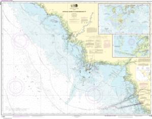
NOAA Nautical Chart 11408
Crystal River to Horseshoe Point;Suwannee River;Cedar Keys
Scale: 80,000
Paper Size: 36.0" x 49.0"
Actual Chart Size: 45.3" x 35.3"
NOAA Edition #: 31
NOAA Edition Date: 2018-06-01
OceanGrafix Edition #: 32*
OceanGrafix Edition Date: 2022-04-11*
NTM Notice/Date: 5222 2022-12-24
NTM: https://msi.nga.mil
LNM Notice/Date: 5022 2022-12-13
LNM: http://ocsdata.ncd.noaa.gov/nm
NTM = NGA Notice to Mariners
LNM = Local Notice to Mariners
This chart has been canceled so it is NOT updated weekly and does NOT include all the latest Notice to Mariners corrections. This chart is available for purchase online.
Buy Online chart 11408 - Crystal River to Horseshoe Point;Suwannee River;Cedar Keys
