OceanGrafix — Accurate Charts. Confident Boating.
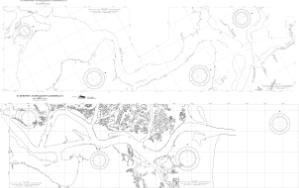
Chart 11491PTC
St Johns River - Atlantic Ocean To Jacksonville FL Harbor Pilotage Chart
Scale:
Paper Size: 42.0" x 54.0"
The chart you are viewing is a training chart produced by OceanGrafix. It is a standardized version of the corresponding NOAA nautical chart and is intended to be used for instructional purposes. This chart is available for purchase online or from one of our retailers.
Buy Online chart 11491PTC - St Johns River - Atlantic Ocean To Jacksonville FL Harbor Pilotage Chart
