OceanGrafix — Accurate Charts. Confident Boating.
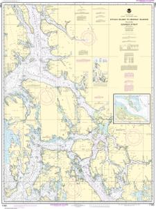
NOAA Nautical Chart 17360
Etolin Island to Midway Islands, including Sumner Strait;Holkham Bay;Big Castle Island
Scale: 217,828
Paper Size: 36.0" x 48.0"
Actual Chart Size: 33.3" x 44.5"
Edition #: 37
Edition Date: 2015-06-01
NTM Notice/Date: 4824 2024-11-30
NTM: https://msi.nga.mil
LNM Notice/Date: 4624 2024-11-12
LNM: http://ocsdata.ncd.noaa.gov/nm
NTM = NGA Notice to Mariners
LNM = Local Notice to Mariners
This chart has been canceled so it is NOT updated weekly and does NOT include all the latest Notice to Mariners corrections. This chart is available for purchase online.
