OceanGrafix — Accurate Charts. Confident Boating.
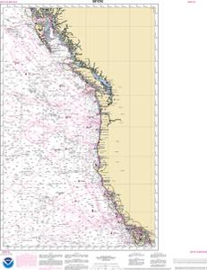
NOAA Nautical Chart 501OG
North Pacific Ocean West Coast Of North America Mexican Border To Dixon Entrance
At the discretion of USCG inspectors, this chart may meet carriage requirements.
Scale: 3500000
Paper Size: 36.0" x 36.0"
Actual Chart Size: 26.8" x 33.9"
For weekly NOAA chart updates, please click here.
Click here to access the Zone of Confidence (ZOC) diagram along with important notes. You can either view the information or print it. This chart may or may not contain insets.
The chart you are viewing is a NOAA chart by OceanGrafix. Printed “on-demand,” it contains all of the latest NOAA updates as of the time of printing. This chart is available for purchase online or from one of our retailers.
NOTE: ENC data is not entirely compatible with the traditional NOAA chart area scales — and may be unreadable in areas where the incompatibility of scales is represented. Please review the chart carefully. To create your own custom chart, click here
