OceanGrafix — Accurate Charts. Confident Boating.
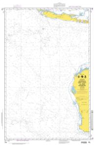
NGA Nautical Chart 708
Australia West Coast and Jawa Indonesia

Per NGA: charts in this region cannot be viewed
Scale: 3500000
Size: 36.0" x 45.0"
Edition #: 3
Edition Date: 1995-12-30
NTM Notice: 199622
NTM: https://msi.nga.mil
NTM = NGA Notice to Mariners
The chart you are viewing is an NGA chart by OceanGrafix. This chart is available for purchase online or from one of our retailers.
Buy Online chart 708 - Australia West Coast and Jawa Indonesia