OceanGrafix — Accurate Charts. Confident Boating.
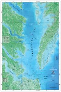
Chart Lower_Chesapeake_Bay
MA, Lower Chesapeake Bay Navisat Map
Satellite Chart - Not For Navigational Use
Chart Size: 24.0" x 36.0"
Buy Online chart Lower_Chesapeake_Bay - MA, Lower Chesapeake Bay Navisat Map
