OceanGrafix — Accurate Charts. Confident Boating.
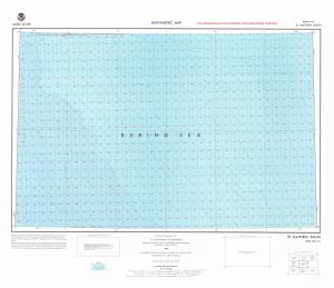
Chart NO_2-1
ST MATTHEW SOUTH
Scale: 1:250000
Paper Size: 36.0" x 32.0"
The chart you are viewing is a bathymetric chart by OceanGrafix. It is designed to present an accurate, measurable description and visual presentation of the submerged terrain in this area. This chart is available for purchase online or from one of our retailers.
