OceanGrafix — Accurate Charts. Confident Boating.
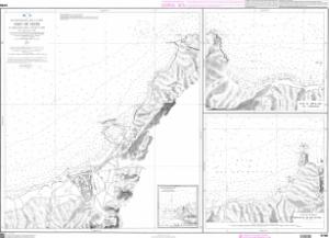
SHOM Nautical Chart SHOM5708
Port de Ténès - Et mouillages dans lEst de ce port
Scale: 10000
Paper Size: 36.0" x 42.0"
Actual Chart Size: 38.9" x 28.2"
Edition Year: 1938
Corrected Date: 2025-07-25
France's Naval Hydrographic and Oceanographic Service charts provide commercial and recreational mariners with navigational information.
Buy Online chart SHOM5708 - Port de Ténès - Et mouillages dans lEst de ce port
