OceanGrafix — Accurate Charts. Confident Boating.
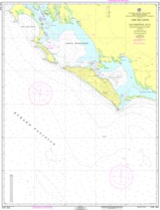
SEMAR Nautical Chart SM342
CABO SAN LÁZARO A ISLA CRECIENTE, B. C. S.
Scale: 1:100,000
Paper Size: 36.0" x 49.0"
Actual Chart Size: 35.2" x 45.9"
Edition Date: 2005-05-01
Corrected Date: 2005-05-01
The Official Mexican Hydrographic Office charts (SEMAR - Secretaría de Marina-Armada de México) produces charts for the coastlines and coastal waters of Mexico.
Buy Online chart SM342 - CABO SAN LÁZARO A ISLA CRECIENTE, B. C. S.
