OceanGrafix — Accurate Charts. Confident Boating.
A Trusted Supplier of Boating Essentials for over 20 Years
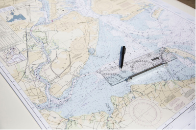
NOAA Charts
Commercial and recreational boaters alike know the importance of carrying 100% up-to-date, NOAA-approved charts on board. But to be effective, nautical charts must be updated regularly. OceanGrafix uses proprietary technology to ensure that our charts contain the most up-to-date, accurate information possible.
> LEARN MORE
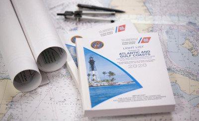
2026 Light Lists
Seven updated volumes of USCG Light Lists provide mariners with information on lights and other aids to navigation. Each volume corresponds to a different regional area and contains more information on each aid to navigation than can be shown on charts.
> LEARN MORE
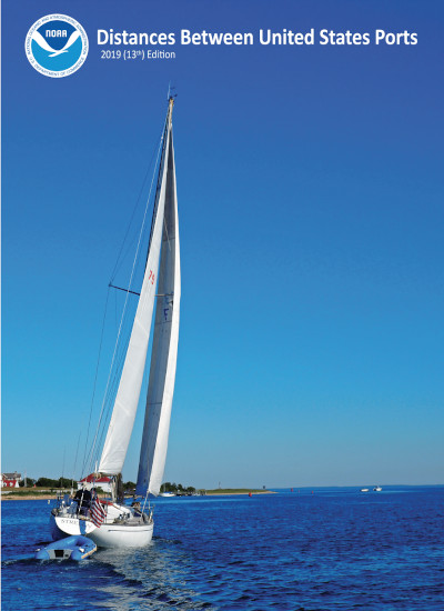
Distances Between United States Ports
Arrive at your destination more efficiently with a copy of Distances Between United States Ports. The publication is created through the coordinated efforts of the Office of Coast Survey, National Ocean Service (NOS) and National Oceanic and Atmospheric Administration (NOAA). The calculated distances within the book are from a port of the United States to other ports in the United States and normally represent the shortest navigable routes.
> LEARN MORE
